
Apedale Country Park
Apedale Community Country Park is managed by Staffordshire County Council.
The park is signposted on the A34, 2 miles north of Newcastle under lyme.
The area is based around a reclaimed opencast coal mine with a network of wide tracks and enclosed plantations.
Bordering this is wooded valleys with some relics of the industrial past.
There are areas of farmland which have to be crossed by marked rights of way for the Long Course. Dogs on lead in these sections.
COURSES - Select one of the 3 courses.
Easy - 1.8 km
Moderate - 3.8 km
Hard - 8.0 km
There is an option to reduce the Hard course to 6.0km in length.
 GET DIRECTIONS TO THIS AREA
  Download map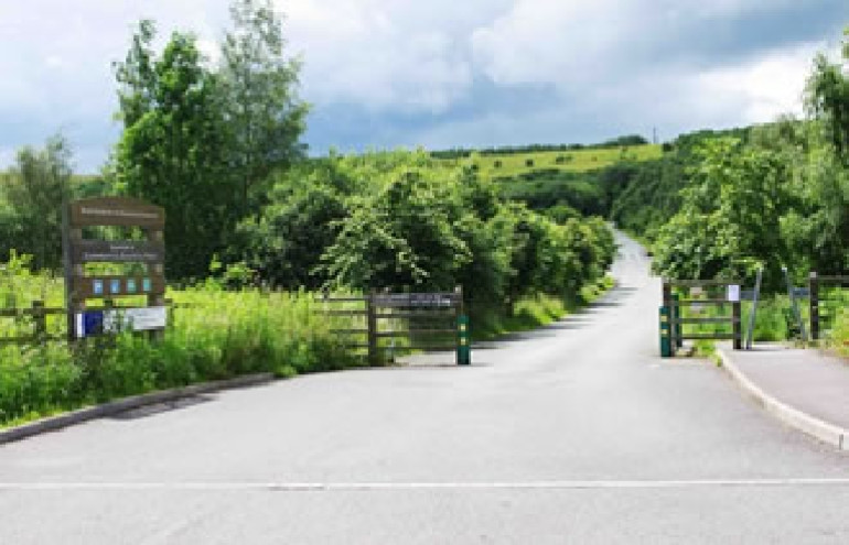
Apedale Country Park - Answer Codes
On your map there will be a series of control points marked with an accompanying letter. At the control site (usually a wooden post) there will be marked a number. These are the corresponding numbers which allow you to check you have visited the correct control points. Good luck.
| a | b | c | d | e | f | g | h | i | j | k | l | m | n | o | p | q | r | s | t | u | v | w | x | y | z |
|---|---|---|---|---|---|---|---|---|---|---|---|---|---|---|---|---|---|---|---|---|---|---|---|---|---|
| 49 | 23 | 66 | 37 | 13 | 82 | 33 | 12 | 29 | 90 | 74 | 55 | 24 | 98 | 28 | 10 | 99 | 76 | 47 | 16 | 52 | 20 | 60 | 17 | 71 | 67 |